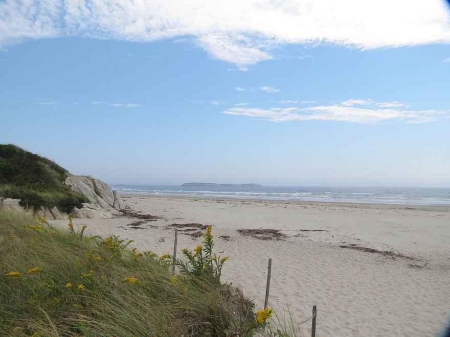
Local Natural Wonders - Day 5
Local Natural Wonders, Day 4 - Brook Trail on Tumbledown Mtn. in Weld, Maine
Tumbledown Mountain (elevation 3,068 ft) is located in Township 6, next to Weld, Maine. While the views from Tumbledown are pretty spectacular, the most unique feature of this mountain is the pond - technically a “tarn” - located at the top. Many hikers will go for a swim or just dip their feet in the cool water.
Tumbledown offers several different trails to the summit, with varying levels of difficulty. Brook Trail, almost 4 miles out and back, is an easier trail however there is some rock scrambling on the upper part of the trail, so appropriate hiking footwear is highly recommended. It can also be buggy, so be sure to pack insect repellent and don’t forget water! This description is from Maine Trail Finder:
Brook Trail (1.9 miles, Moderate): This trail is the most direct trail to the pond and one of the easier trails in the network. Starting at the Brook Trailhead, the trail follows an old logging road for about a mile. After the road crosses Tumbledown Brook, turn right and follow the trail as it begins to closely parallel the brook. Just before the summit, the Brook Trail is joined from the right by the Parker Ridge Trail and shortly afterwards ends at Tumbledown Pond and the Tumbledown Ridge Trail.
0 comments
Leave a comment
Please log in or register to post a comment